
Is your tourism business located in one of the following 7 counties (Waukesha, Dodge, Fond du Lac, Calumet, Brown, Kewaunee, or Door) and “doing the right thing” in terms of your sustainability efforts and contributions to community, culture and the environment?
If so, take our survey to determine your eligibility! If you qualify, your business will be placed onto our new, interactive online WI-Ledge Rambler map guide - and be a part of our promotional efforts!
CURRENT / ONGOING EFFORTS
WI Ledge Rambler (Interactive Geotourism Storymap) utilizes ESRI’s StoryMap platform to provide the user with both an overview of, and details about, Wisconsin’s Niagara Escarpment corridor and the many natural, recreation, cultural and educational sites and experiences available to visitors. Users will be able to locate specific sites based on pre-set themes, as well as view specific traveler related businesses which follow sustainable business practices.
Overview
The Niagara Escarpment’s distinct geology – a 1,000+ mile-long exposed cliff face – influences the landscape surrounding it, thereby creating its own microcosm of natural splendor and ecological wonder. A treasure trove of destinations and experiences await residents and visitors alike.
The WI Ledge Geotourism Program of the Niagara Escarpment Resource Network (NERN) promotes events and experiences touching the natural and cultural features of The Ledge to help visitors and participants find something wonderful and develop their own sense of place at variety of destinations.
The program aims to boost local and regional economies by working in partnership with responsible businesses and organizations that promote community, culture and the environment. Visitors can connect with the natural beauty of this unique geologic feature by enjoying the abundant cultural, educational, and recreational resources the corridor has to offer.
What you can expect from the program:
A comprehensive, interactive online map-guide to points of interest, local museums, nature centers and businesses that share in the Niagara Escarpment experience. Learn about day-trip routes, bicycle and scenic byways.
Printed versions of some resources at local businesses and visitors’ bureaus.
Interpretive signage pointing out essential places and things you need to know.
Calendar containing Escarpment-related events in each county.
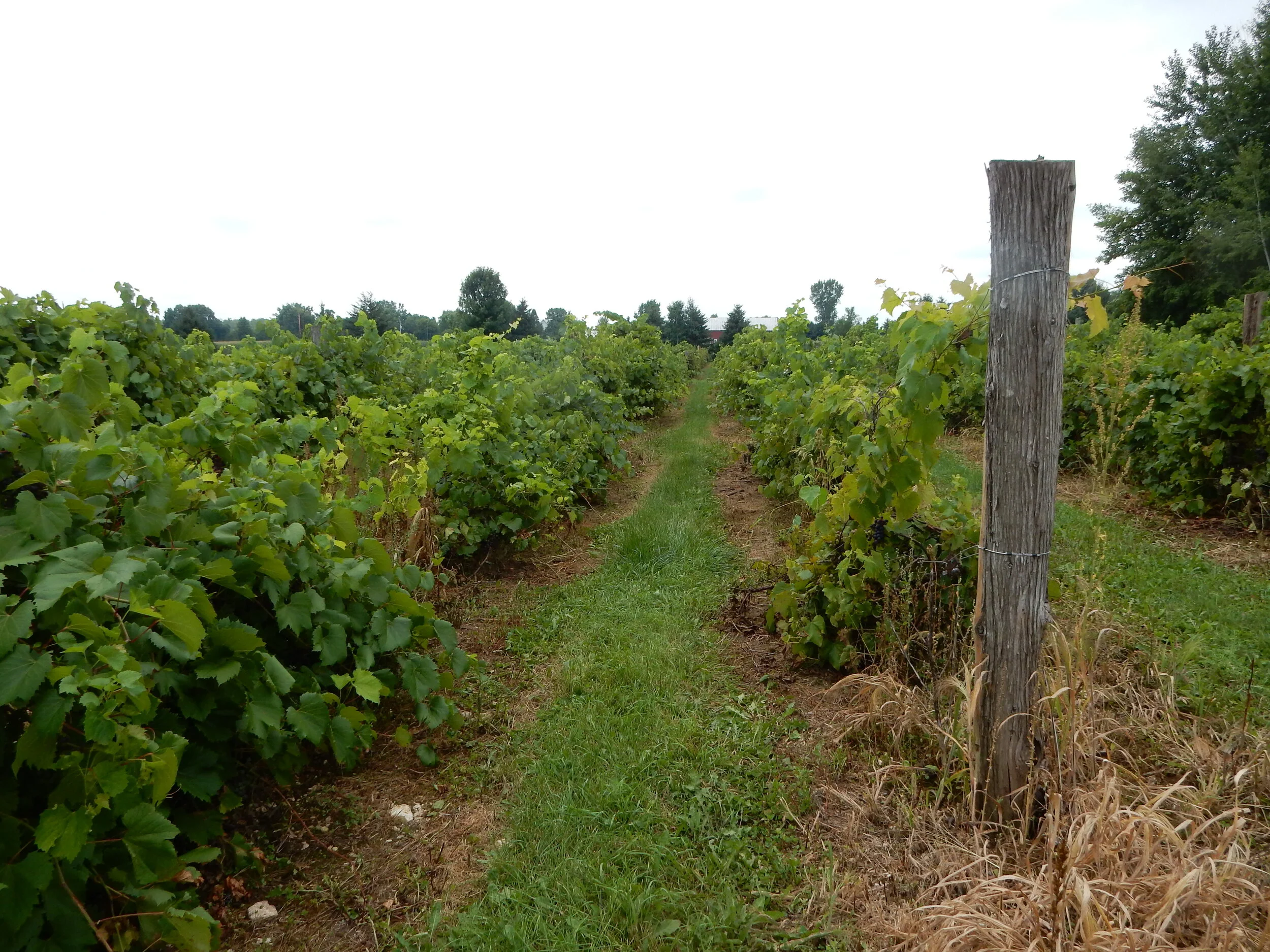
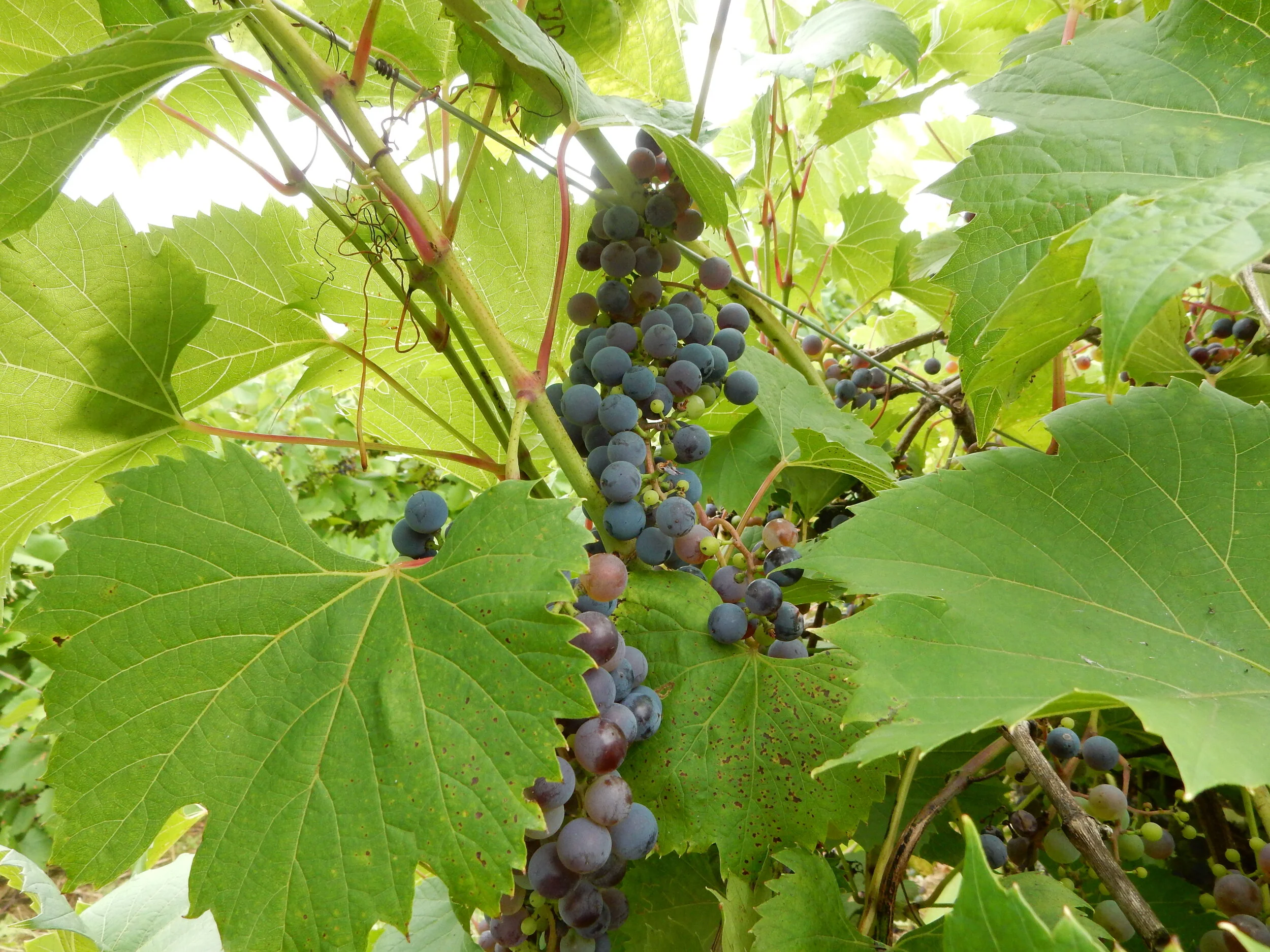
Wisconsin Ledge American Viticultural Area (AVA) – Wine Trail
NERN has worked with Trout Springs Winery since 2008 to develop an application for a federally designated American Viticultural Area (AVA). The Wisconsin Ledge AVA designation was awarded in 2012 by the Federal Bureau of Alcohol, Tax, and Tobacco and recognizes the unique qualities of a landscape (such as the Niagara Cuesta) for its ability to grow quality grapes for use in winemaking. Such a designation is helping to propel the local grape growing and wine making industry in a 2.4 million acre portion of northeastern Wisconsin.
Establishment of the Wisconsin Ledge AVA (Federal Register, 2012)
Great Arc Bike Route
The Niagara Escarpment Resource Network published the Great Arc Bike Route Map in 2011 which showcases a 288-mile bike journey that takes you through some of Wisconsin’s most splendid and diverse landscapes and vistas. Beginning in Mayville, near the Horicon Marsh in Dodge County, and traversing the corridor to the tip of Door County and Washington Island, it’s a route like no other!
Born out of the 2010 Year of the Niagara Escarpment, the inspiration to create a bike route on the Escarpment evolved to build continued awareness about this fragile ecosystem. Along the route, you can see Lake Winnebago, the Fox River Valley, portions of the Fox River Trail and other state trails, as well as traveling through urban and rural areas,. The route may eventually be expanded with secondary trails and informational signage.
In-kind and financial contributions toward this project came from Trek, a globally recognized bicycle manufacturer located right here in Wisconsin!
Downloadable .pdf versions of the maps are available by clicking the links below:
Wisconsin Great Arc Bike Route Map (Northern ½)
Wisconsin Great Arc Bike Map (Southern 1/2)
A web-based version of the route (including the ability to download GPS coordinates to your iPhone, etc.) can be found on https://ridewithgps.com/routes/334553.
Please e-mail eric@lnrp.org if you have questions or comments about this project.
OTHER RESOURCES
Useful Tourism Links:

